
Monitor infrastructure and civil constructions, settle subsidence claims, complement in-situ measurements, assess structural health
Design
Determine existing surface ground instabilities which could affect new civil constructions.
We offer historical InSAR analyses to identify unstable areas and reconstruct their motion patterns when planning new sites, routes, network extensions and duplications. For linear infrastructures, monitoring with InSAR minimizes survey time and cost.
- Reconstruct ground surface motion back to 1992
- Complement existing geotechnical information
- Support the design and optimization of ground instrumentation networks
This slideshow requires JavaScript.
This slideshow requires JavaScript.
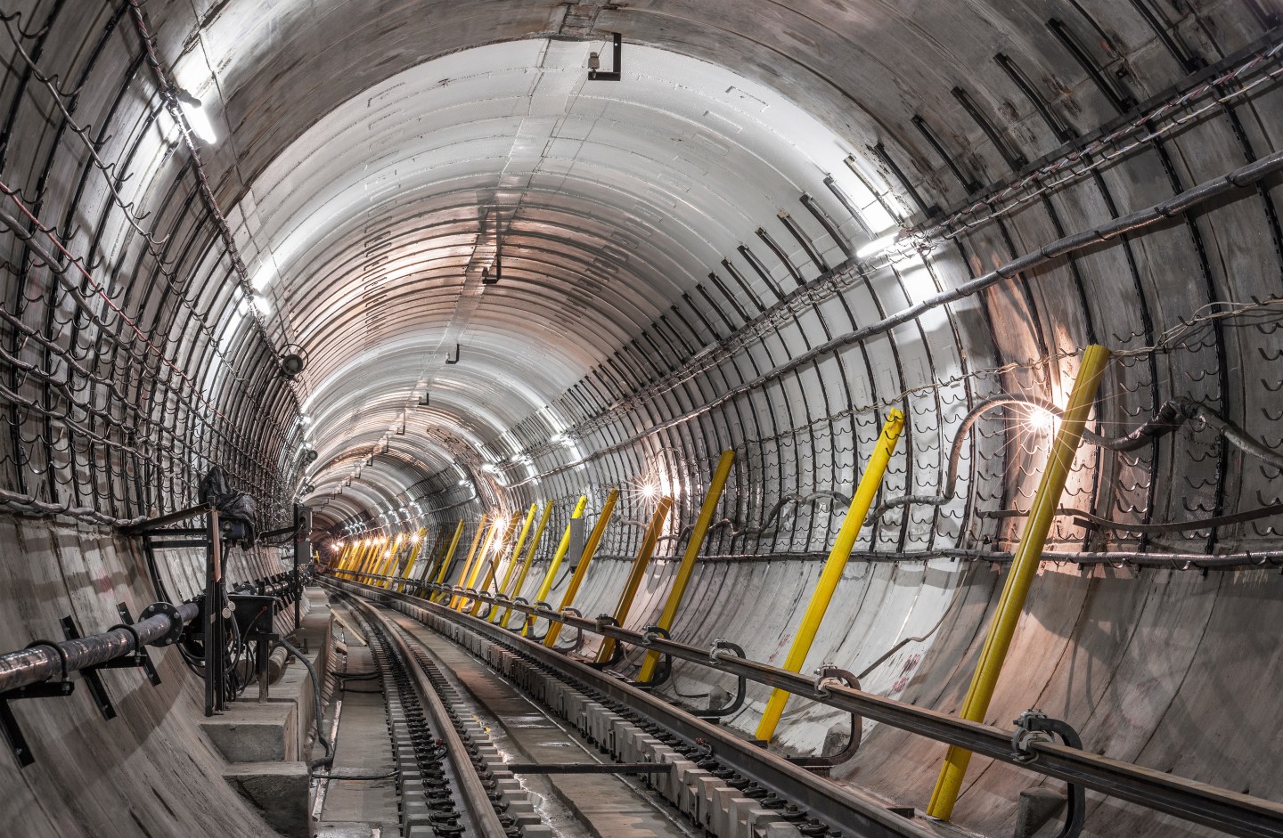
Construction
InSAR monitoring provides the temporal evolution of displacement and its real distribution, at a fraction of the cost of traditional monitoring.
Understanding the relationship between your construction activities and the onset of any related ground instability to:
- Determine the real extent of ground surface motion and its magnitude
- Settle subsidence claims
- Solve predictive deformation model uncertainty
- Complement in-situ measurements
Operation
Optimize surveillance with InSAR over linear infrastructures and civil constructions.
Regular satellite monitoring of post-construction displacement is used to assess structural health and identify areas at risk that could potentially affect your assets.
- Monitor structural health
- Monitor unstable areas
- Scale back in situ-measurements
This slideshow requires JavaScript.